
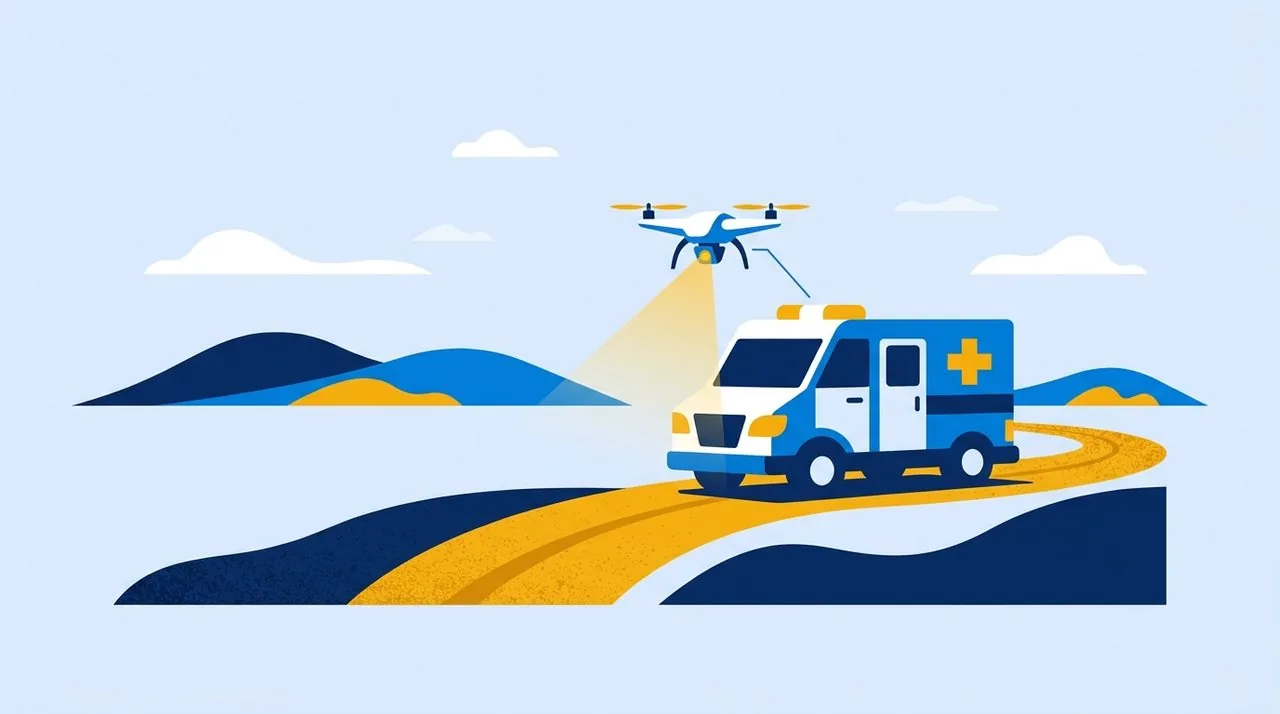
Humanitarian logistics near the line of contact require unprecedented security measures and planning.
Delivering basic food supplies, drinking water, or medicine to frontline communities remains one of the most difficult tasks for charitable organizations. According to experts, vast areas of land adjacent to active combat zones or recently de-occupied territories have a critical level of contamination with explosive objects. Under such conditions, a routine trip by a cargo minibus turns into a complex navigational operation, where the cost of a mistake is measured in human lives.
Volunteer crews heading to isolated villages every day face a harsh reality. Paved roads are often destroyed or under the threat of shelling, while dirt detours through forest strips and fields hide mines or unexploded ordnance. Providing the civilian population with necessities requires not only having the supplies themselves but also an absolutely accurate understanding of the situation on the route. Blind trust in old maps or standard car navigators does not work here: the landscape of danger changes weekly due to weather conditions, landslides, or new strikes that expose previously hidden threats.
For many remote settlements, humanitarian convoys remain the only source of survival. Local shops are closed, commercial supply chains are broken, and most residents are elderly people who are physically unable to travel for groceries on their own. That is why stopping the missions is impossible, but continuing them blindly is unacceptable.
Every kilometer of unchecked road is a game of roulette, where the stakes are the lives of those delivering the aid and those who desperately wait for it.Yellow-Blue Editorial Team
Invisible obstacles on the way to communities
Mine contamination of roadsides
Remnants of ammunition and hidden explosive devices turn familiar routes into traps. Even dirt roads long known to local residents require preliminary instrumental inspection before heavy transport can pass.
Destroyed infrastructure
Destroyed bridges, crossings, and sections of highways force the search for detours. Such makeshift routes most often lie outside the attention of sapper groups and carry the highest risk of encountering dangerous objects.
Classic logistics relies on speed and cost optimization. Humanitarian logistics in the context of armed conflict relies exclusively on safety protocols. To deliver several tons of food kits to people who have been living for months without electricity and stable communication, teams spend dozens of hours on preliminary preparation. This includes gathering up-to-date data from local administrations, coordinating with the State Emergency Service (SES) units, and constantly monitoring the condition of the road surface.
However, even the freshest information from local services can be incomplete or lose its relevance overnight. Strong winds, heavy rains, and natural soil erosion can move anti-personnel mines onto already checked areas. Unexploded cluster submunitions often lie right in the tall grass on the roadsides, remaining invisible from the driver's cabin. Therefore, remote reconnaissance of the routes immediately before the movement of the humanitarian convoy becomes critically important.
The involvement of unmanned technologies radically changes the approach to safety. Drones equipped with high-resolution cameras and optical zoom systems allow inspecting the route from the air. Operators can detect fresh craters, assess the condition of temporary crossings, or spot suspicious objects on the road even before transport with people approaches. This process can be called "reconnaissance for life" — the use of remote surveillance technologies exclusively for civilian, humanitarian purposes.
The Yellow-Blue Foundation has integrated a comprehensive approach to logistics into its work, combining aid delivery with preliminary drone reconnaissance of roads. Before sending cargo to the hottest spots, our specialists remotely inspect the routes. This allows us to record visible threats, avoid mined areas, adjust the path in real time, and transmit safe coordinates to the crews. Such an algorithm significantly reduces the risks for volunteers and ensures that the cargo reaches de-occupied communities without losses.
Creating up-to-date, dynamic safety maps based on aerial monitoring is gradually becoming the standard for effective work in crisis regions. The collected data not only helps a specific crew fulfill its mission today but also forms the basis for a general understanding of the infrastructure's condition in the region. Thanks to information sharing, these routes become useful to other humanitarian initiatives, rescuers, and medical evacuation services that also operate in these territories.
It is impossible to completely eliminate the risk when working near the frontline, but it can be made manageable. Thanks to remote sensing technologies, careful terrain analysis, and strict planning discipline, the path to affected communities becomes more predictable. The main goal remains not just to bring the necessary items, but to save lives at every stage of this complex support chain — from the warehouse to the hands of the person in need of help.