
The spring campaign in de-occupied territories remains a challenge, as every uninspected hectare of land hides a direct threat to the lives of local farmers.
With the onset of spring, agricultural work traditionally gains momentum, but for communities that have survived occupation or were in zones of intense hostilities, this period is full of anxiety. The land that has fed entire regions for decades is now littered with unexploded ordnance, rocket remnants, and mines. For the local population, the agricultural sector is not just a business or a source of income, but the fundamental basis for survival and the recovery of the community's economy. The inability to safely go out into the fields threatens food stability and forces farmers to make a difficult choice between saving the lives of their workers and losing the harvest.
Sowing spring crops, such as wheat, corn, or sunflowers, is critically important for filling local budgets. However, the work of tractor drivers and agronomists in such conditions is associated with constant psychological pressure. Driving heavy machinery onto an uninspected area is a direct risk, because even after a superficial inspection, hidden explosive objects may remain in the soil. The insidiousness of the situation lies in the fact that spring vegetation quickly masks the traces of hostilities, making visual recognition of threats from a tractor cabin almost impossible.
According to experts, a significant portion of arable land in the affected regions requires thorough humanitarian demining. This process requires a long time, colossal resources, and the involvement of qualified specialists, because the safety of civilians trying to return to normal life on their native land is at stake. The scale of mine contamination dictates new rules of work. The traditional approach, where machinery simply goes out into the field with the first warming, is a thing of the past. Today, every sowing campaign begins with painstaking analytical work, collecting testimonies from local residents, and an in-depth risk assessment.
The journey from a mined field to safe farmland
Non-technical survey and data collection
The first and most important step that precedes any physical work on the land. Specialists collect information from open sources, analyze satellite images, and conduct a visual inspection of territories without direct contact with the soil. The goal of this stage is to localize potentially dangerous zones, identify visible signs of contamination, such as shell craters or abandoned trenches, and thus narrow down the area for further intervention by sappers.
Humanitarian clearance of territories
After confirming the danger, professional demining teams enter the designated area. Using metal detectors, special prods, and, if possible, mechanized equipment, specialists check the soil meter by meter. This is the most dangerous and time-consuming process, requiring maximum concentration. Every explosive object found is marked and neutralized in accordance with international safety standards.
Returning the land to the community
Only after complete clearance and obtaining the appropriate safety certificates is the area officially handed over to the owners for use. This documented status is the only basis for farmers to bring their machinery into the fields without fear. A sown field becomes a symbol of the community's resilience, the restoration of food security, and a gradual return to peaceful life.
Given the colossal areas of potentially contaminated land, traditional clearance methods are not enough to quickly respond to the urgent needs of farmers. Humanitarian demining is an objectively slow process that does not tolerate haste. In order to accelerate the recovery of agriculture without losing quality and safety, a large-scale implementation of modern technologies is necessary even at the stage of non-technical survey. The use of innovative solutions allows for remote assessment of the condition of fields, minimizing the physical presence of people in potentially dangerous areas.
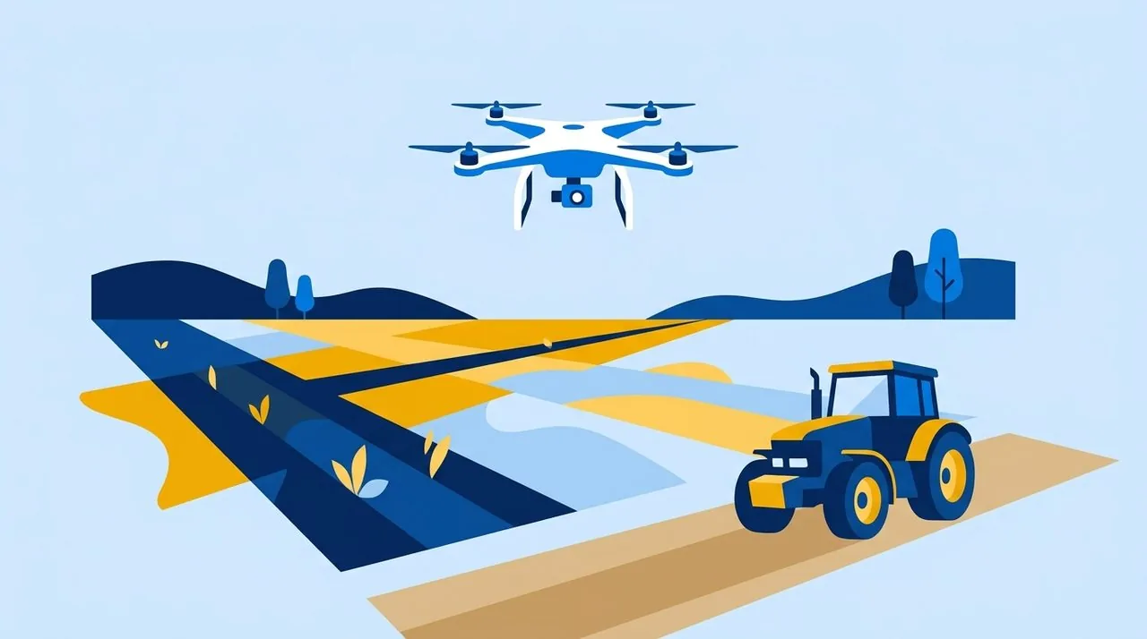
Aerial reconnaissance has become one of the most effective tools in this endeavor. Unmanned aerial vehicles are able to cover significant areas of agricultural land in a short time, methodically recording abandoned military positions, unexploded ordnance on the surface, and other terrain anomalies. Thanks to high-precision cameras, detailed orthophotomaps of the area are created, providing a comprehensive picture of the condition of the fields. This visual information becomes a solid foundation for planning the work of sapper groups: specialists receive clear coordinates of threats and do not waste precious time checking guaranteed clean zones. For the civilian population, such maps are a vital guide, clearly indicating where access is strictly prohibited until complete clearance.
The Yellow-Blue Foundation works directly to reduce risks for farmers during the spring campaign. Our specialists regularly conduct reconnaissance of agricultural lands using drones. All data collected during the flights is carefully analyzed and transferred to a special geo-register of potentially dangerous areas, which is maintained by the foundation. This digital database helps to promptly record threats and transmit exact coordinates for the subsequent humanitarian clearance of fields, saving the lives of farmers.
Timely detection of threats and systematization of data ensure that the process of agricultural recovery will take place with minimal risks to people. Every inspected hectare brings de-occupied communities closer to economic stability, allowing local residents to confidently plan future harvests and build their own lives on safe land.